


in fracture zones
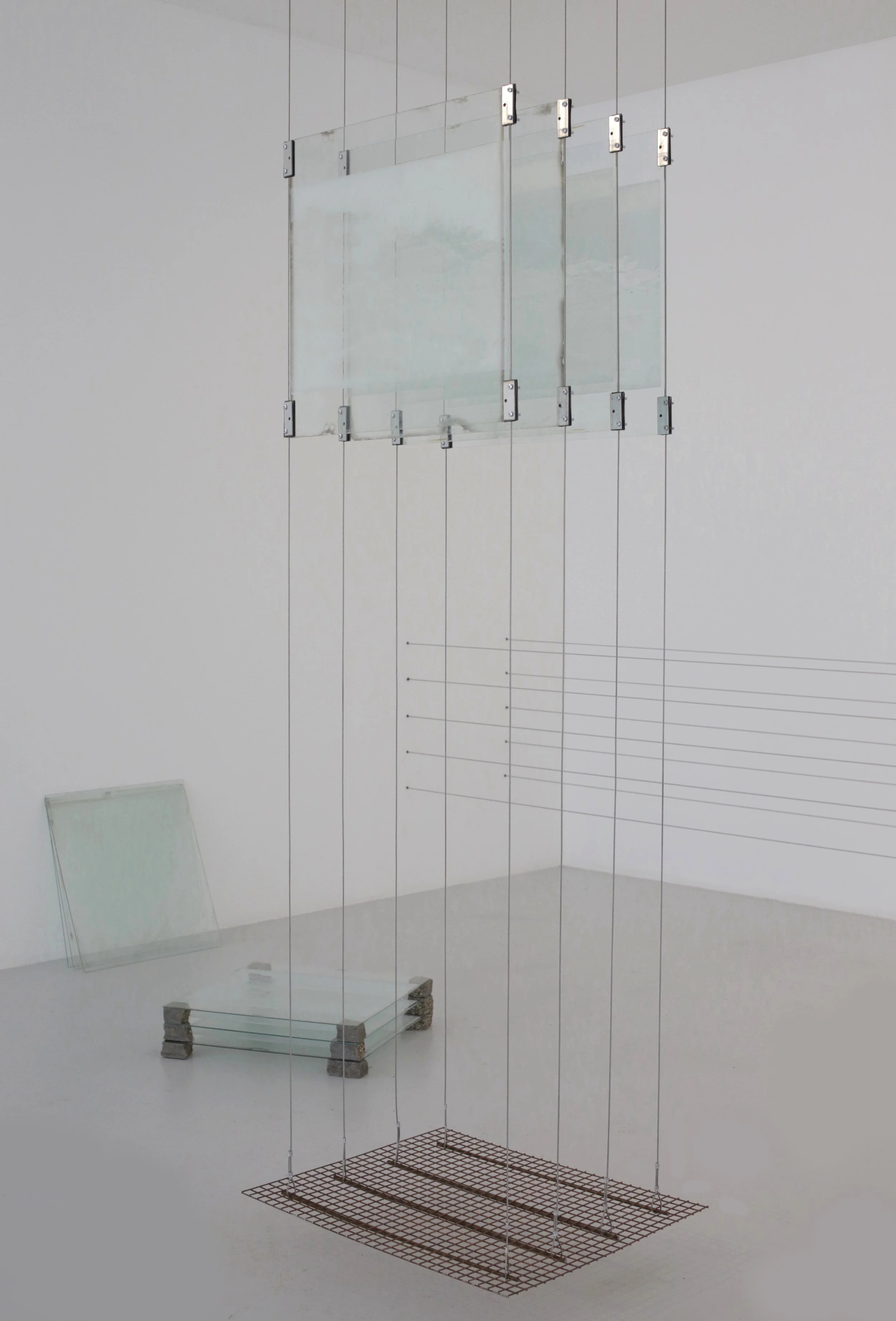
Landscape, Ecology & Environment Research Residency Exhibition (LEER)
Leitrim Sculpture Centre
2022
With increasing frequency, technologies and scientific methods for visualization, sonification, calculation, mapping, prediction and simulation serve as a conduit for our interactions with Earth. Geological resources, formally mapped through surveys and field observation, are now studied through advanced remote sensing technologies. As a result, through and in media we understand the planet as an object to form cognitive, practical and emotional relationships with. For example, nations define oceans through a process that begins on land. Based on a mass of observations and data points, the precise boundary between saltwater and solid ground is determined, as well as what populates an ocean and how. For her exhibition at LSC called in fracture zones, Martina O’Brien combined moving-image, the re-use of decommissioned agricultural glass and sculptural installation. This body of work explores similar x, y coordinated data assemblages to consider how extractive industry transforms territories into readable maps of prospective resources.